Surveying Services

Accurate surveying is the foundation of sound property, design, construction, and real estate decisions. True North Land Solutions provides professional surveying and mapping services for private owners, developers, contractors, engineers, lenders, title companies, and public-sector project teams.

Boundary Surveys

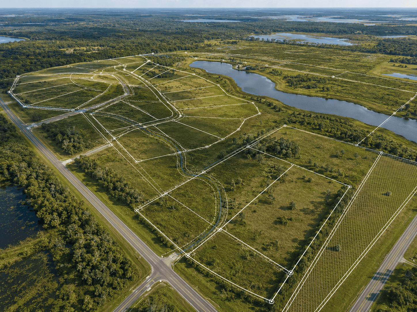
Boundary surveys identify property lines, corners, improvements, encroachments, easements, and other relevant property conditions. These surveys are commonly used for purchases, improvements, fences, permitting, development planning, and property questions.

ALTA/NSPS Land Title Surveys

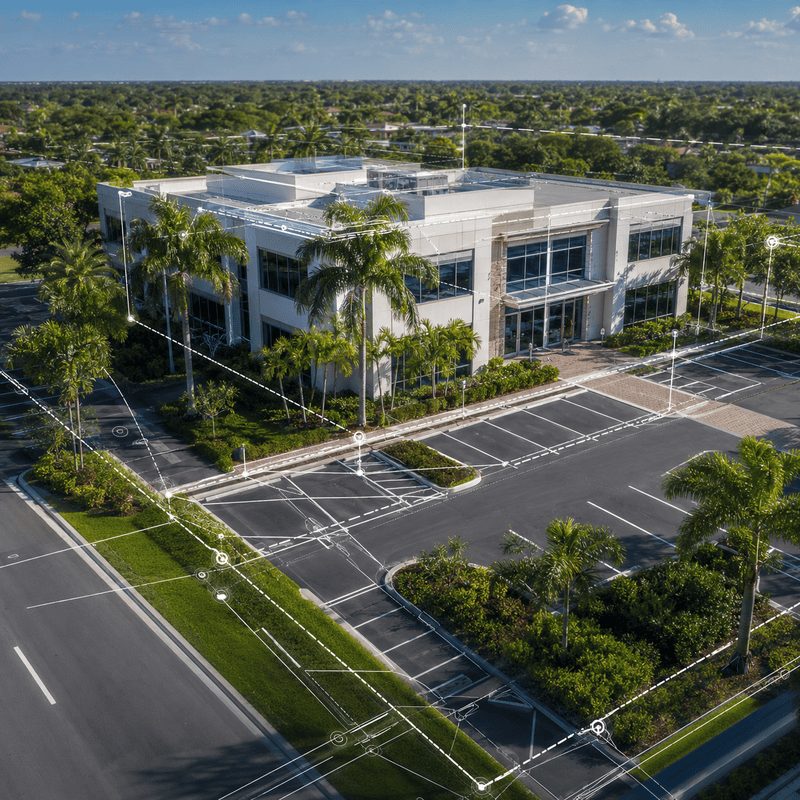
ALTA/NSPS Land Title Surveys provide detailed survey information for commercial transactions, lenders, title companies, attorneys, buyers, and sellers. These surveys help document boundary conditions, easements, access, improvements, utilities, and other title-related matters.
Construction Stakeout

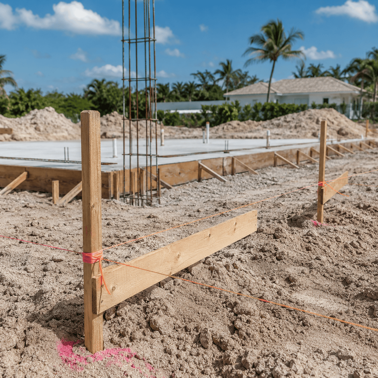
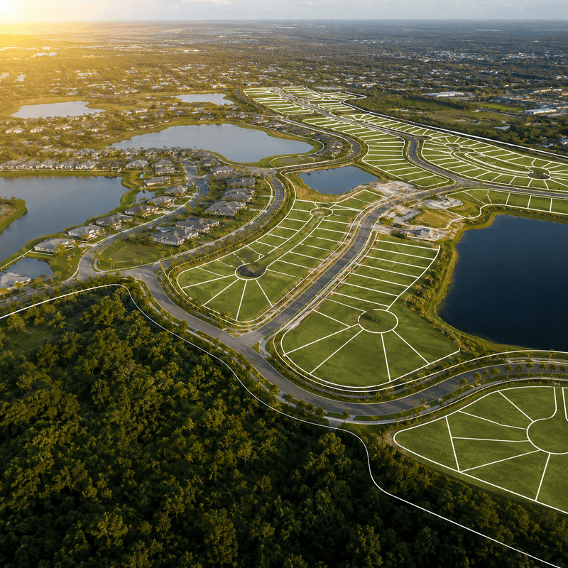
Construction stakeout services translate approved plans into field layout. We help contractors and project teams place buildings, roads, utilities, drainage structures, site improvements, and other project elements accurately in the field.

As-Built Surveys

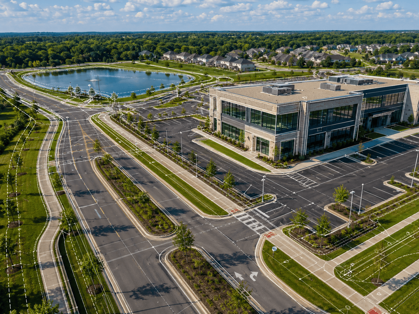
As-built surveys document completed improvements and verify field conditions after construction. These surveys are often used for close-out, certification, permitting, lender documentation, record drawings, and project verification.

Topographic Surveys

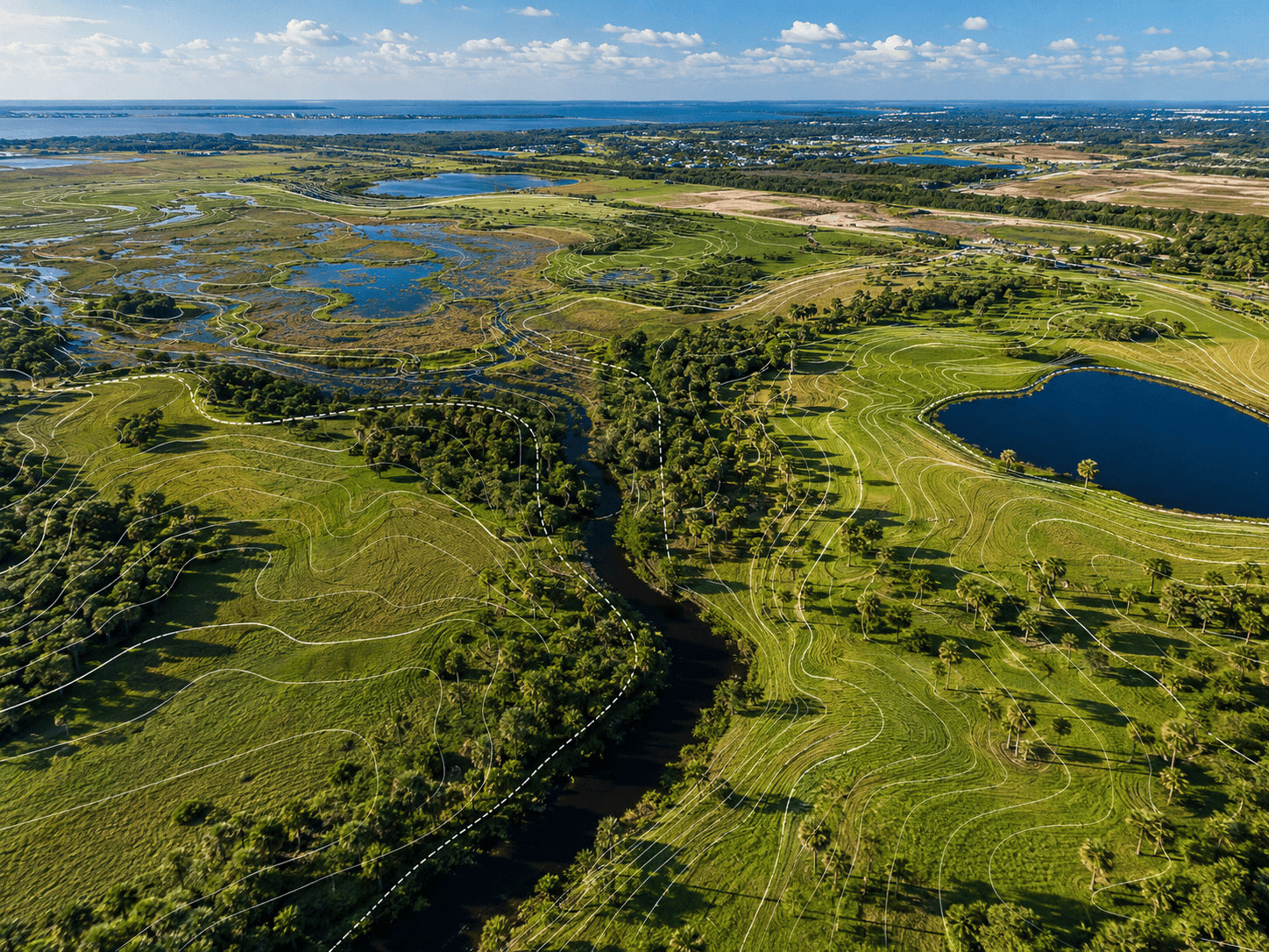
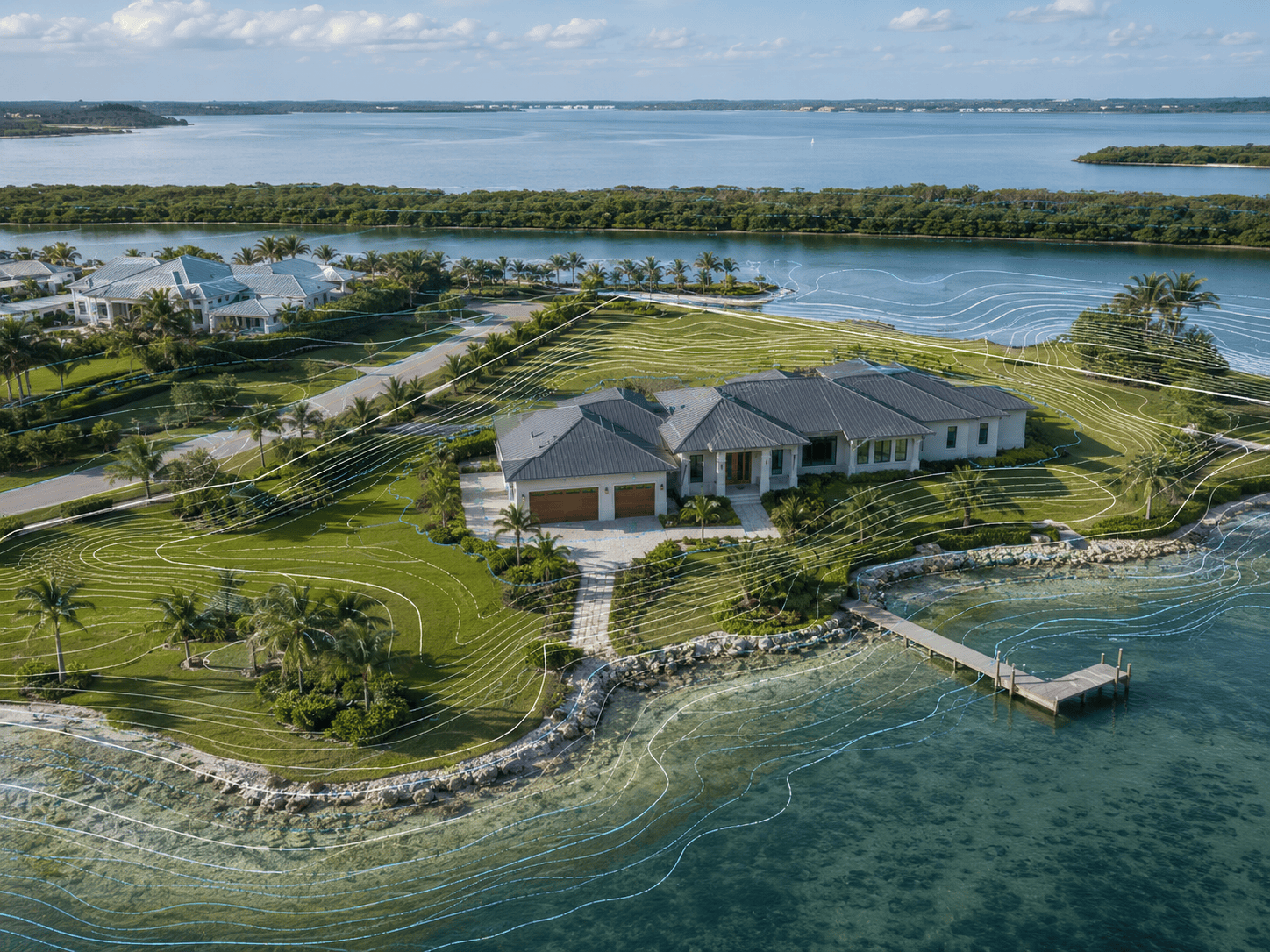
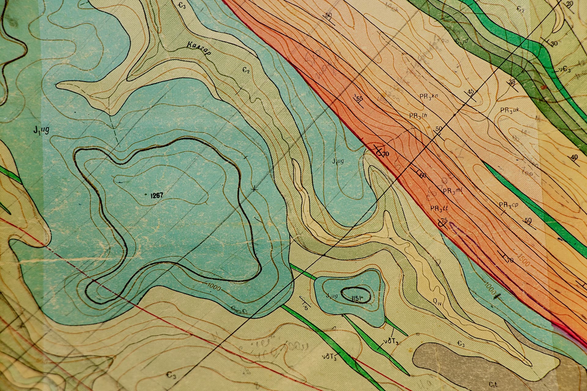
Topographic surveys collect elevation data, site features, contours, drainage patterns, utilities, structures, and other physical conditions. This information supports engineers, architects, planners, and project teams during design and development.

Elevation Certificates

Accurate collection of property elevation data and preparation of FEMA Elevation Certificates for residential and commercial properties. These certificates are commonly required for flood insurance, permitting, property transactions, and to verify compliance with floodplain regulations.

Mapping & Legal Descriptions

We prepare survey-related mapping, sketches, exhibits, and legal descriptions for parcels, easements, rights-of-way, subdivisions, and other property-related needs.

Not Sure Which Survey You Need?

Tell us about the property, the reason for the survey, and any lender, title, permitting, or project requirements. We can help determine the right survey type for your situation.